
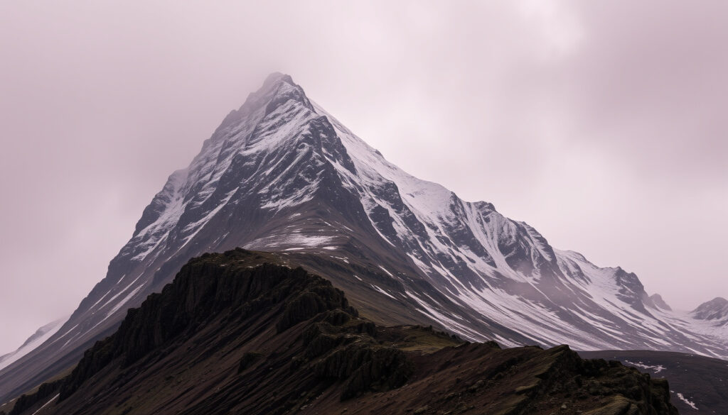
Ben Nevis, standing at 1,345 metres (4,413 feet) above sea level, is the highest mountain in the United Kingdom and the British Isles. Located in the Scottish Highlands near the town of Fort William, this ancient volcanic peak attracts over 150,000 visitors each year. But its popularity masks serious dangers: rapidly changing weather, year-round snow, and challenging navigation conditions make it a hazardous climb even for experienced hikers.
The mountain’s summit is a stony plateau, not a pointed peak, with a steep northeast face and a gentle southern slope. Its height was precisely measured by the Ordnance Survey in 2016 at 1,344.527 metres, rounded to 1,345 metres on official maps. Ben Nevis is the highest land for hundreds of kilometres in any direction, dominating the Grampian Mountains range.
Despite its accessibility from Fort William, the mountain demands respect. Each year, rescue services respond to numerous incidents involving walkers caught unprepared by the conditions. Understanding the facts about Ben Nevis—its height, dangers, climate, and history—is essential for anyone planning to climb it.
How Tall Is Ben Nevis and Where Is It Located?
Height
1,345 m (4,413 ft)
Location
Grampian Mountains, Scotland
Annual Visitors
~150,000
Annual Deaths
~3-5 (average)
- Ben Nevis is the highest peak in the British Isles, but its popularity leads to frequent accidents.
- Weather can change rapidly; many rescues occur due to inadequate preparation.
- The mountain has a volcanic origin (andesite/lava dome) but is often misclassified.
- Fort William is the main gateway; most climbers start from the Visitor Centre.
- Winter (Nov–Feb) is considered the most dangerous time due to snow, ice, and limited daylight.
| Attribute | Detail |
|---|---|
| Height | 1,345 m (4,413 ft) |
| Prominence | 1,345 m (highest in UK) |
| Mountain Range | Grampian Mountains |
| Country | Scotland (UK) |
| First Recorded Ascent | 1771 (by James Robertson) |
| Nearest City/Town | Fort William (approx. 7 km) |
| Geology | Granite, andesite lava flows |
| Average Annual Visitors | ~150,000 |
| Annual Deaths (approx.) | 3–5 |
| Best Climbing Season | May–September |
Ben Nevis Height: Meters and Feet
The official height of Ben Nevis is 1,345 metres (4,413 feet) above sea level, as measured by the Ordnance Survey. The 2016 survey recorded the summit at 1,344.527 metres, which was rounded to 1,345 metres on published maps. This makes Ben Nevis the highest mountain in the UK and the British Isles, towering over all other peaks in the region.
The Grampian Mountains: Ben Nevis Mountain Range
Ben Nevis is the highest peak in the Grampian Mountains, a mountain range that stretches across the central Scottish Highlands. The range includes other notable peaks such as Ben Macdui and Cairn Gorm. Ben Nevis is the highest land for hundreds of kilometres in any direction, making it a dominant feature of the landscape.
Closest Town: Fort William
The nearest significant settlement to Ben Nevis is Fort William, located approximately 7 kilometres from the mountain’s base. Fort William serves as the main gateway for climbers, offering accommodation, gear shops, and the Glen Nevis Visitor Centre where most walks begin. The town is well-connected by road and rail, making it a convenient starting point for any Ben Nevis expedition.
Geological Classification of Ben Nevis
Ben Nevis is an ancient volcanic mountain. According to VisitScotland, it was once a massive active volcano that exploded and collapsed inward millions of years ago. Britannica notes that the mountain has volcanic rocks over ancient schists, with granite intrusions. The mountain’s core is made of andesite lava flows, and it is classified as an extinct volcano.
Why Is Ben Nevis Considered a Dangerous Mountain?
Ben Nevis Deaths: Statistics and Causes
The exact number of deaths on Ben Nevis each year is not precisely documented in a single official tally. Estimates from Police Scotland and Mountain Rescue records suggest an average of 3 to 5 fatalities annually. However, undetected falls or unreported incidents may exist, and no centralised database provides a definitive count. The mountain is considered hazardous primarily due to weather, exposure, and navigation risk.
Weather and Climate Risks
The climate on Ben Nevis is severe and unpredictable. Even in summer, the summit can be cold and wintry, with snow often present at the top even in midsummer. Britannica states that permafrost conditions are almost reached near the summit. Fog and cloud are major hazards because they can completely obscure the summit area and navigation lines. The weather can shift from fine to dangerous in minutes.
The Campfire Collective article notes that the weather on Ben Nevis can shift from fine to dangerous quickly. It recommends avoiding the mountain between November and May unless properly prepared. Even in summer, carry waterproofs, warm layers, and navigation tools.
The Worst Seasons for Climbing Ben Nevis
Winter, from November to February, is considered the most dangerous time to climb Ben Nevis due to snow, ice, and limited daylight. The Campfire Collective advises avoiding the mountain between November and May unless you have winter mountaineering experience and proper equipment. Even in spring and autumn, conditions can be treacherous.
Why Ben Nevis Claims Lives Each Year
The combination of rapidly changing weather, strong winds, cloud, rain, snow, and poor visibility makes Ben Nevis particularly dangerous. The summit plateau and steep upper sections make navigation difficult in poor visibility, especially for inexperienced walkers. Many rescues occur because hikers underestimate the mountain and set out without adequate preparation.
VisitScotland emphasizes that you need hillwalking experience, suitable clothing and shoes, fitness, hill craft, and map-and-compass navigation skills, especially in winter. The standard Mountain Path is a well-trodden route, but it is still a serious undertaking in poor conditions.
Planning Your Ben Nevis Climb: Key Safety and Practical Insights
Essential Gear and Preparation
Carry waterproofs, warm layers, food, water, a map, and a compass. Good footwear is essential. Check the forecast before you set out and be prepared to turn back if visibility or conditions worsen. Fog and cloud are specifically highlighted as major risks. There are no toilet facilities on the mountain itself; facilities are available only at the Visitor Centre when it is open.
Best Time to Climb Ben Nevis
The best time to climb Ben Nevis is between May and September, when conditions are generally milder and daylight hours are longer. However, even in summer, the weather can be hazardous. The Campfire Collective recommends avoiding the mountain between November and May unless you are properly prepared for winter conditions.
Starting Point: Fort William and the Mountain Path
Most climbers start from the Glen Nevis Visitor Centre near Fort William. The most popular route is the Mountain Track, also called the Pony Track or Tourist Path. This route is the safest option for inexperienced hikers, but it should still be treated as a serious mountain walk. The climb typically takes 7 to 9 hours round trip, depending on fitness and conditions.
The Mountain Track is the recommended route for those without extensive experience. However, it is still a physically demanding climb that should not be underestimated. Allow 3.5 to 4.5 hours for the ascent alone in summer conditions.
Key Events in Ben Nevis History
- 1771 – First recorded ascent by botanist James Robertson.
- 1883 – Ben Nevis Observatory opened; operated until 1904.
- 1894 – First motorcar ascent (attempt) – not completed.
- 2000 – Recorded highest wind gust: 150 mph.
- 2006 – Closure of the youth hostel at the foot of the mountain.
- 2010 – Ben Nevis receives official ‘Mountain of the Year’ award from Walkhighlands.
- 2019 – Over 150,000 visitors; increase in rescue incidents.
- 2023 – New safety campaign launched by Mountain Rescue Scotland.
What Is Known and What Remains Uncertain About Ben Nevis
| Established Information | Information That Remains Unclear |
|---|---|
| Ben Nevis height: confirmed by Ordnance Survey as 1,344.53 m (4,411 ft), rounded to 1,345 m. | Number of deaths per year: estimates vary. No single official tally exists. |
| Best climbing season: generally accepted as late spring to early autumn. | Weather can be hazardous even in summer. No guarantee of safe conditions. |
| Type of mountain: most sources classify Ben Nevis as a volcanic mountain (extinct). | Some refer to it as a ‘massif’ or ‘monadnock’. Consensus: it is a single peak. |
Why Ben Nevis Matters: Context and Significance
Ben Nevis is not only the highest point in the British Isles but also a symbol of Scottish mountaineering. Its accessibility attracts thousands of novice hikers each year, many of whom underestimate the mountain’s dangers. The mountain’s geology tells a story of ancient volcanic activity, and its observatory (1883-1904) contributed early data to meteorology. Today, it remains a critical site for outdoor recreation and emergency services training. Understanding the mountain’s risks – rapid weather changes, loose scree, and route-finding challenges – is key to preventing accidents. The gap in official death statistics highlights the need for better centralised reporting.
Sources and Expert Quotes on Ben Nevis
“Ben Nevis is a mountain that demands respect. The weather can change in minutes, and even experienced climbers have been caught out.”
— Mountain Rescue Scotland
“The standard Mountain Path is a well-trodden route, but it is still a serious undertaking in poor conditions.”
— Walkhighlands guide
“Ben Nevis is the largest mountain in the British Isles and climbed by over 150,000 people every year.”
Summary: What You Need to Know About Ben Nevis
Ben Nevis is the highest mountain in the UK, standing at 1,345 metres. It is an extinct volcano located in the Grampian Mountains near Fort William. The mountain is dangerous due to rapidly changing weather, year-round snow, and navigation challenges. An estimated 3 to 5 deaths occur annually, though no single official tally exists. The best time to climb is between May and September, but even then, proper preparation is essential. Check the Is It Going to Rain Today – UK Live Radar & Rain Forecast before heading out.
Frequently Asked Questions About Ben Nevis
How long does it take to climb Ben Nevis?
The standard Mountain Path typically takes 7–9 hours round trip, depending on fitness and conditions.
Can you climb Ben Nevis in winter?
Yes, but winter climbing requires ice axe, crampons, and advanced navigation skills. Many guides recommend winter mountaineering experience.
Is Ben Nevis a volcano?
Ben Nevis is an extinct volcano. Its core is made of volcanic rock (andesite) and granite from subsequent intrusion.
How many people climb Ben Nevis each year?
Approximately 150,000 people attempt the summit annually.
What is the nearest city to Ben Nevis?
The nearest significant settlement is Fort William, about 7 km from the base.
Is there a fee to climb Ben Nevis?
No, there is no fee to climb. Parking at the Glen Nevis Visitor Centre may incur a charge.

Jack Sutton is Senior Reporter at RegionalReport.co.uk, covering breaking regional news, councils, transport, business and community stories across the UK.